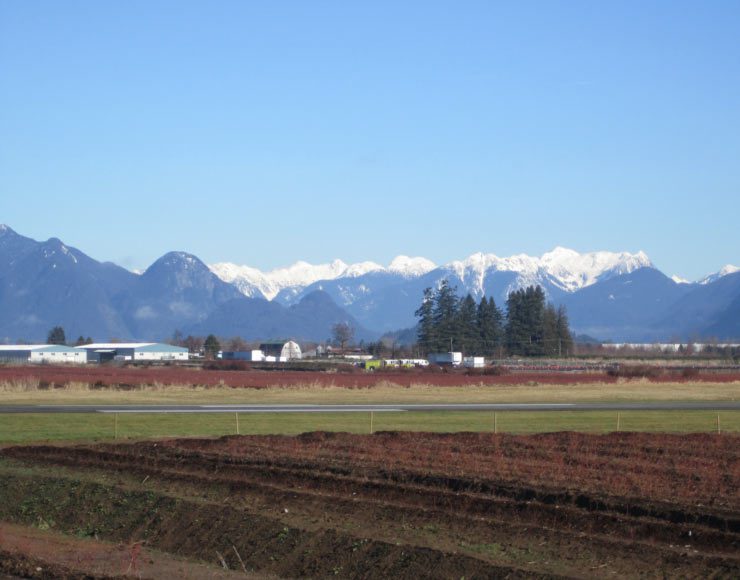
Three parks in South Surrey offer something for everyone. Beginners can explore Crescent Beach, Elgin Park and Serpentine Fen. More advanced riders can loop the parks together for a 30km ride with views west across Boundary Bay and north to Vancouver’s Mountains. There is lots to see along the way…meandering wetland trails, the Nicomekl River, ducks and birds, and a historic farm.
Get the route map (PDF) by entering your name and email address below.
You'll be subscribed to my monthly newsletter if you're not already a subscriber.
You’ll find this map and 80+ more in the book! Order your copy today
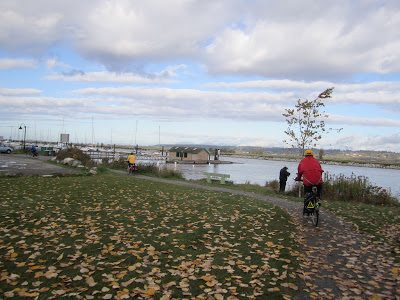
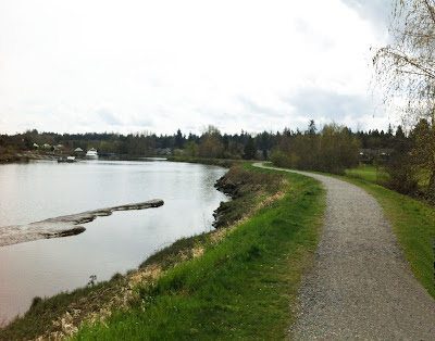
Along the Nicomekl River
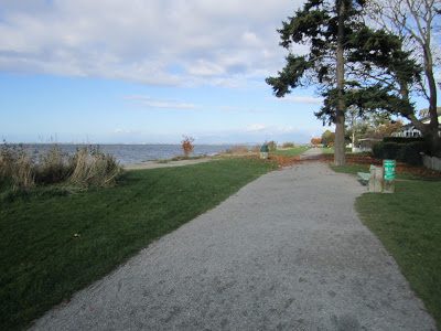
Crescent Beach promenade on Boundary Bay
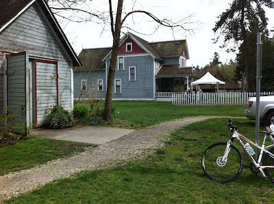
Historic Stewart House at Elgin BC
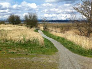
Trails weave through the natural areas at Blackie Spit
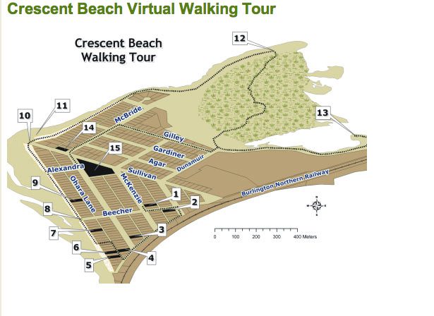
Follow the route and find the signs for each stop.

Did you say lunch?

Want more? Thanks to blog reader Debbie C for this suggestion: “we lengthen our ride by going over the one way Elgin Dam Bridge. Once we’re over we ride the farm lands north of the Nicomekl River. It’s a combination of 40 Ave and 140 Street. These are quiet roads that take you past lovely dairy farms.”