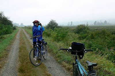
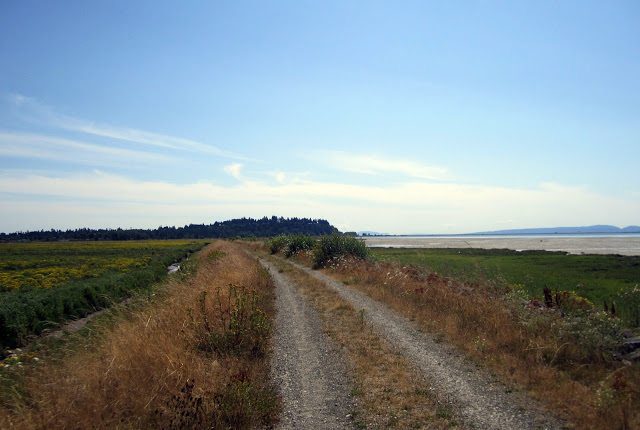
Sometimes when riding we think…where in the world are we? This was certainly true as we cycled along the Great Blue Heron Way in Tsawwassen First Nation. This is a little gem of a ride near the ferry terminal, there’s a new boardwalk and quiet side streets to explore. Big plans are in the works…but for now we were pleased to see a place where ducks lined the shores and wildflowers bloomed ― a quiet oasis just outside of the big city.
Get the route map (PDF) by entering your name and email address below.
You'll be subscribed to my monthly newsletter if you're not already a subscriber.
You’ll find this map and 80+ more in the book! Order your copy today
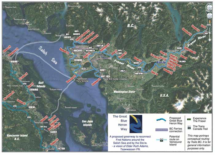
sməq̓ʷaʔ xeł ~ the Great Blue Heron Way – a trail connecting communities – is the vision of Tsawwassen First Nation Elder xwasteniya Ruth Adams. Her vision is to reconnect First Nations Communities around the Salish Sea and along the Sto:lo (Fraser River) on existing and new pathways.
This project works in partnership to interlink multi-use greenways for active transportation such as walking and cycling in communities, helps towards meaningful reconciliation for First Nations and their neighbours along a healing pathway, and gives an opportunity for Indigenous-led cultural awareness through BC and across Canada.
This short section through the Tsawwassen First Nation is a small part of the entire vision.
For more information and a link to the Trails BC presentation by Elder xwasteniya Ruth Adams visit Trails BC – The Great Blue Heron Way.
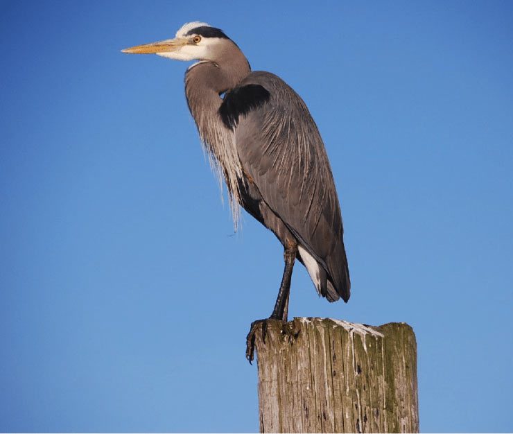
Thanks to Toby Snelgrove for this photo of a Great Blue Heron!
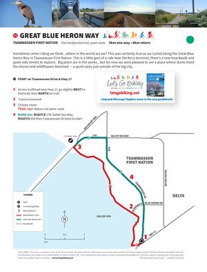
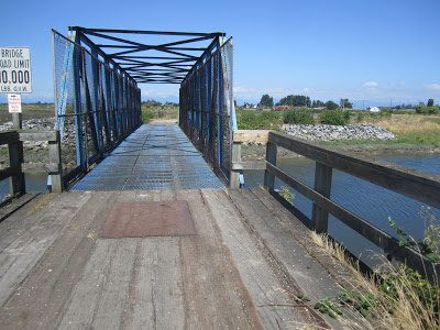
Alert! This boardwalk is temporarily closed due to covid. See map for detour route.
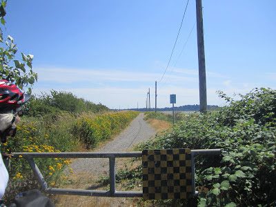
North end of the GBHW trail – note there is no access over the rails to Brunswick Point.
Useful Links
Delta bike map – pocket version available at libraries and City Hall